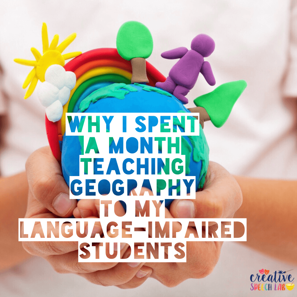
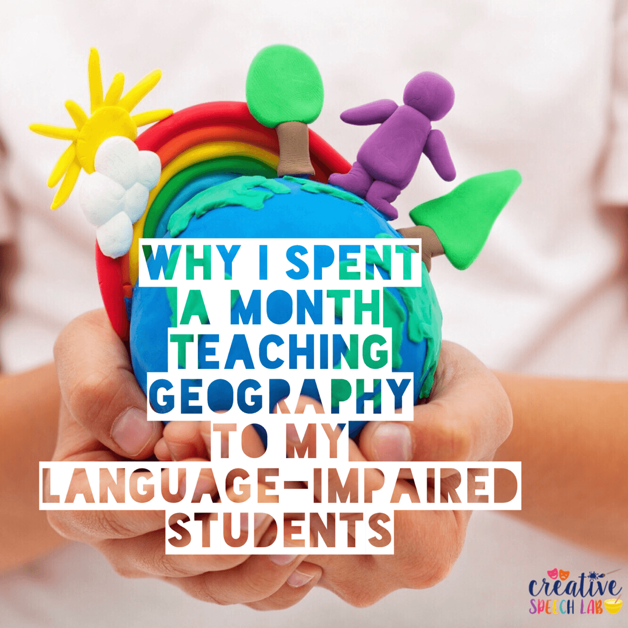
Let’s talk about why I spent an entire month teaching GEOGRAPHY to my language-impaired students.
One day, I began a lesson in a self-contained classroom with a story set in another country. When I asked my students what country we were in, the room went silent.
This led me to investigate whether or not my entire caseload could identify and label our:
🔹Town
🔹City
🔹State
🔹Country
🔹Continent
🔹Planet
While my students knew the name of our planet, most of them did not know anything else.
In addition, they did not know which was bigger- a town or a state?
Then I thought about it. These students struggled with:
🔹 Categorization: Florida belongs to the STATE category and Orlando is in the CITY category.
🔹 Vocabulary: Many of my students did not demonstrate knowledge of basic geographic vocabulary.
🔹 Comparatives/Superlatives: A town is BIG, but a state is BIGGER and a country is BIGGEST.
🔹 Where Questions: Geographical questions are considerably more difficult for students who struggle with WH questions.
So, you’re probably wondering what I did to help my students, right? Well, as it turns out, geography provides a powerful way to target a wide range of language skills!
🔹Visuals: The very first thing I did was visit Google Images. I printed an image to go with each vocabulary item (e.g. state, country etc).
Next, I attached each image to my white board and asked students to label in which category each image belonged (e.g. Florida was labeled as a state). Ultimately, I did not write any words on the board and asked students to sort the pictures from largest to smallest and label each category independently.
Similarly, some of my students sorted pictured locations into category bags (e.g. state, country, continent)!
🔹 Technology:
Have you ever used Google Earth with your students? It provides a powerful form of interactive, visual support and is extremely easy to use!
When the app opens up, there is an image of the Earth floating in space. As you touch the screen and zoom in further, you will see countries, states, cities, town and landmarks. Google Earth is a powerful means for making abstract geographical categories far more concrete. Also, students get a kick out of “visiting” and learning about places they select!
Incidentally, I’ve used Google Earth when reading books or news articles with my students to enhance their understanding of the setting.
One of the greatest lessons I learned from this experience was to never assume that my students have a foundation of knowledge and vocabulary and to always take time to assess their understanding before beginning a lesson.


2 Comments
This is such a neat idea. I was doing a push in language group a few years ago and one of the students moved to another state. The teacher and I pulled up a map of the US to show the kids (all special ed students) how far it was from NY to Indiana. Was a great opportunity to work on identifying the state we lived in ( most of them responded with the city/town rather than state). So just like you, I spent time working on categorizing cities/state, also concepts of near/far. We also targeted transportation vocabulary,which way would be the fastest/easiest way to travel if wanted to visit our friend in his new home (think planes/trains/automobiles!). Google earth is so awesome!
Thank you so much for sharing your experience, Lisa! What a personal and meaningful way to target such important concepts! I love how you incorporated transportation and temporal concepts as well! It’s truly amazing how much you can target with this topic!